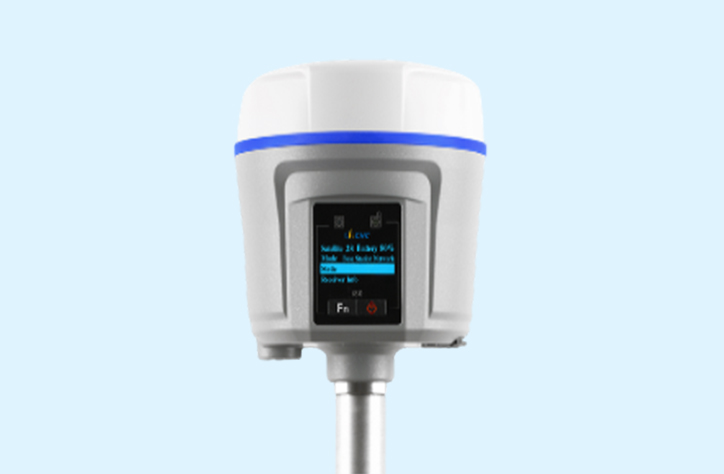
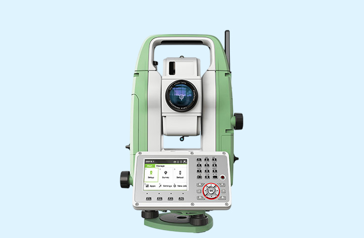
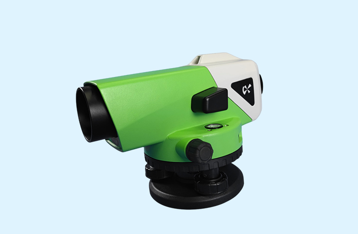
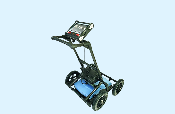
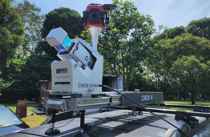
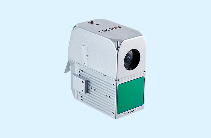
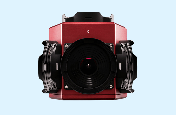
Our Equipment Our Equipment Advanced Surveying & Geospatial Equipment We utilize advanced, high-precision equipment to ensure accurate data collection and reliable project outcomes across surveying, mapping, and environmental solutions. Land Survey Hydrographic Survey Oceanographic Survey Airborne LiDAR LiDAR Sensor Drone i90 IMU-RTK GNSS RECEIVER i80 IMU-RTK GNSS RECEIVER i83 IMU-RTK RECEIVER Total Station Auto Leveler Ground Penetrating Radar (GPR) Valeport Midas Surveyor Single Frequency I & II Teledyne Odom HydroTrac l & II DGPS (Hemisphere Vector) Norbit iWBMS DGPS (Hemisphere Atlas) DGPS (Fugro Marine Star) USV APACHE 4 RDI Brand of Sentinel V50 RiverSurveyor - M9 Aquadopp Profiler 600 kHz Sediment Corer Magnetometer Ponar Grab Niskin Water Sampler Sub Bottom Profiler DJI Mavic 3 Multispectral a) Terrestrial Laser Scanning (TLS) Faro Focus Premium S350 DJI Matrice 350 RTK DJI Phantom 4 Multispectral & Phantom 4 RTK b) Mobile LiDAR Mobile (MLS) AU20 (Vehicle) AU20 (Backpack) DJI Phantom 4 Multispectral & Phantom 4 RTK c) Airborne Laser Scanning (ALS) AU20 DJI Matrice 350 RTK DJI Phantom 4 Multispectral & Phantom 4 RTK d) Unmanned Laser Scanning (ULS) AA10 AA450 AU20 e) Photogrammetry LADYBUG PANO CAMERA MICA SENSE RED EDGE MX MULTISPECTRAL CAMERA PHANTOM 4 MULTISPECTRAL CHCNAV C30 OBLIQUE CAMERA CHCNAV C5 CAMERA SONY A7R4 CAMERA DJI ZENMUSE H20 MAVIC 3 MULTISPECTRAL SONY A7R4 CAMERA DJI Matrice 4 Enterprice & Matrice 4 Thermal DJI Matrice 350 RTK DJI Phantom 4 Multispectral & Phantom 4 RTK CHCNAV P330 Fixed Wing VTOL CHCNAV BB4 DelAir UX11 Fixed Wing DJI Matrice 300 DJI Mini 4 Pro DJI Mavic 3 Multispectral Photogrammetry LADYBUG PANO CAMERA MICA SENSE RED EDGE MX MULTISPECTRAL CAMERA PHANTOM 4 MULTISPECTRAL CHCNAV C30 OBLIQUE CAMERA CHCNAV C5 CAMERA SONY A7R4 CAMERA DJI ZENMUSE H20 MAVIC 3 MULTISPECTRAL SONY A7R4 CAMERA i90 IMU-RTK GNSS RECEIVER i80 IMU-RTK GNSS RECEIVER i83 IMU-RTK RECEIVER Total Station Auto Leveler Ground Penetrating Radar (GPR) Valeport Midas Surveyor Single Frequency I & II Teledyne Odom HydroTrac l & II DGPS (Hemisphere Vector) Norbit iWBMS DGPS (Hemisphere Atlas) DGPS (Fugro Marine Star) USV APACHE 4